Ten years since the Great East Japan Earthquake and Tsunami
This year marked the 10th anniversary of the Great East Japan Earthquake, of which economic losses are estimated at $221 billion (EM-DAT), making it the most costly natural disaster recorded since 1900. The earthquake itself did not cause significant damage or casualties, but the subsequent 5–20 meter tsunami hit northern coastal areas, washing away townships and destroying the cooling system at the Fukushima Daiichi Nuclear Power Plant. To date, the recovery process is still ongoing to restore industries and economic activities to their pre-disaster levels.
In 2015, the United Nations proposed the Sendai Framework for Disaster Risk Reduction (UNISDR 2015), which indicates vital issues for understanding disaster risk in all dimensions of vulnerability, capacity, exposure of persons, asset hazard characteristics, and the environment. The framework recommended that investing in disaster risk reduction for resilience can drive innovation, growth, and job creation. Such measures are cost-effective and instrumental in saving lives, preventing and reducing losses, and ensuring effective recovery and rehabilitation. Nevertheless, given the difficulties in quantifying disaster risk for stakeholders and the general public, there exists a knowledge gap in knowing how and what to invest in preparedness for resilience for contributing to more efficient and effective disaster risk reduction (DRR).
The evidence-based approach is the foundation for holistic disaster risk reduction
In 2018, United Nations Secretary-General António Guterres stated that Asia and the Pacific is the world’s most disaster-prone region and urged for greater investment in DRR (United Nations 2018). Given its origin, disaster studies has been long categorized in the field of natural science or infrastructure engineering. However, deepening data linkages between engineering and economic approaches can provide straightforward implications for policy making. Where government budgetary resources are limited, the backward quantification of potential disaster risk can identify vulnerable sectors and designate an appropriate budget allocation scale. To ensure effective policy making for DRR assessment, evidence-based quantitative approaches at the sectoral level are desirable to provide stakeholders with comprehensive information.
In most disaster-prone cities, hazard maps are made to display the potential physical impacts of disaster scenarios based on estimated outcomes simulated by scientists and engineers. The information in a hazard map may help residents evacuate more successfully in the event of a disaster. Similarly, the compilation of an input–output table enables the interpretation of economic structure through sectoral interdependence and can provide a clear picture of economic activities. Hazard maps can be used not only for evacuation—by combining them with a geographic information system (GIS), we can estimate the impacts of disasters on industries and employees. Further, the estimated impacts can be applied to a region’s input–output table as an evidence-based disaster scenario. By using a computable general equilibrium (CGE) model, we can acquire quantified information on sectoral impacts, recovery pathways, budget requirements, and welfare analysis to examine the cost-effectiveness of a proposed policy.
Risk-financing instruments with vulnerability visualization
Using free public data sets, such as a city-level input–output table, and a city census integrated with GIS into a hazard map, Tanaka and Huang (2020) demonstrated the impact assessment of a tsunami hitting Hakodate City in Hokkaido, Japan, which has a population of 300,000 people. The same method was also applied to analyze a tsunami scenario for Mie Prefecture, a petroleum refining industry cluster located in a coastal area of central Japan with a population of 1.8 million (Tanaka, Yoshioka, and Huang 2021). The GIS and CGE approach makes it possible to visualize vulnerability and assist stakeholders in gaining a holistic overview of DRR with more efficient ex-ante resource allocation.
Disasters have also demonstrated that preparation for the recovery, rehabilitation, and reconstruction phases needs to be made ahead of a disaster. Data compilation, hazard map application, and economic analysis can contribute to analysis that is plausible for creating financing instruments and investment in resilience. The use of a compact combination of engineering and economic approaches is desirable for contributing to methods and policy instruments for risk financing and is an opportunity to “build back better” through integrating DRR measures.
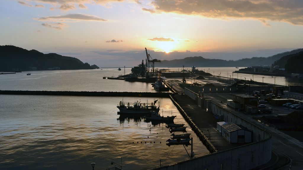
Photo: Tsunami recovery area (Kamaishi City, Iwate, Japan).
Photo Source: Author.
_____
References:
EM-DAT. The International Disaster Database. Centre for Research on the Epidemiology of Disasters (CRED).
Tanaka, H., and M. Huang. 2020. The Impact Assessment and Resilience toward Tsunami Risk: A Recursive General Equilibrium Analysis on Hakodate City, Environment and Planning B: Urban Analytics and City Science.
Tanaka, H., N. Yoshioka, and M. Huang. 2021. Disaster Impact Assessment and Vulnerability Index (VI) of a Tsunami: An Approach using Geographic Information System (GIS) and General Equilibrium for Mie Prefecture, Japan. Integrated Disaster Risk Management Journal.
UNISDR. 2015. Sendai Framework for Disaster Risk Reduction 2015 – 2030. Geneva: UNISDR.
United Nations. 2018. Asia-Pacific World’s Most Disaster-Prone Region, Secretary-General Tells Ministerial Conference, Urging Greater Investment in Risk Reduction, SG/SM/19126-IHA/1452. United Nations.